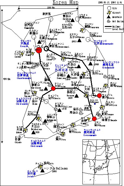
Korea Map PDF,423KB
Route Map PDF,116KB
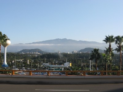
Weather map(HBC)
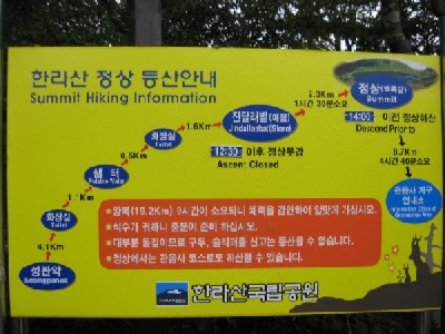
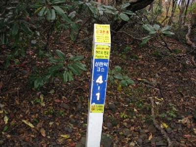
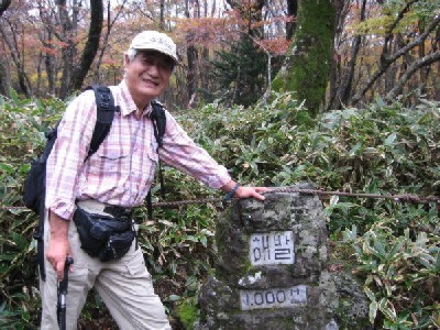
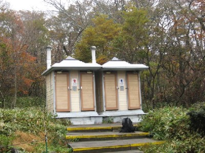
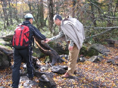
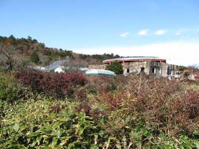
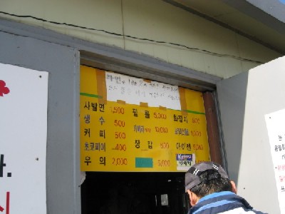
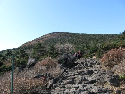
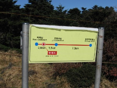
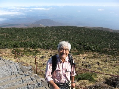
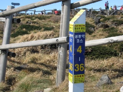
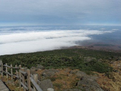
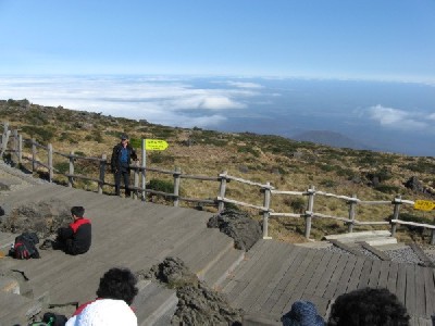
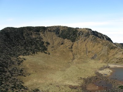
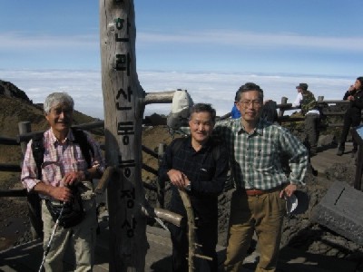
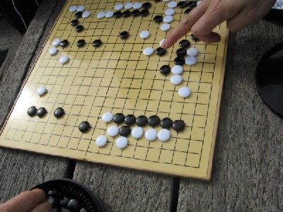
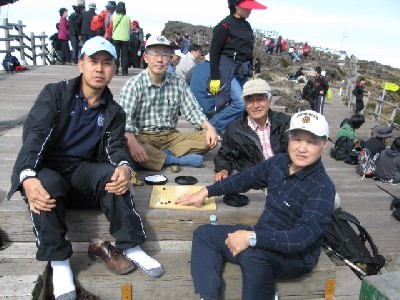
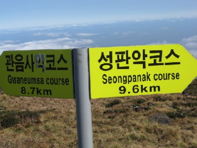
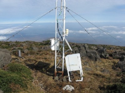
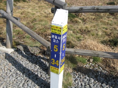
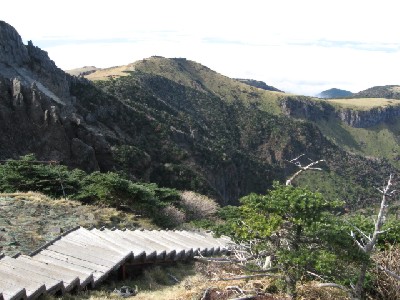
Japan and Korea IBM members including me climbed up and down Mt.Halla in Jeju island,
Oct.29, 2007. It rained before dawn and was cloudy at the starting point Seongpanak,
but getting good by noon. We four people bought "Kimpub" for lunch and petbottled
water at the Seonpanak shop. Maple leaves were very colorful at the beginning.
There were toilets, drinking water facilities and a shop selling rahmen and coffee
etc on the trail to the summit. Mile stones were built by 250m increment.

We started 8 o'clock and arrived at the summit 12:50. Weather was fine on the top
of the Mt.Halla, stayed there one hour, enjoyed "GO" match 30 minutes, left there
by 2 pm due to regulation, took Gwaneumsa course and arrived at Gwaneumsa 6 past
23 min. It took 10 hours and 23 minutes from Seonpanak to Gwaneumsa including
resting time. It was a little bit hard walking for me, but enjoyable.
We took two courses below,
   ** Seongpanak Course(9.6Km, Altitude 750m-->1950m for Ascending),
   ** Gwaneumsa Course(8.7Km, Altitude 1950m-->560m for Descending).